Ruthton Voting District, Pipestone County, Minnesota
About
Outline

Summary
| Unique Area Identifier | 603642 |
| Name | Ruthton Voting District |
| County | Pipestone County |
| State | Minnesota |
| Area (square miles) | 0.66 |
| Land Area (square miles) | 0.66 |
| Water Area (square miles) | 0.00 |
| % of Land Area | 99.31 |
| % of Water Area | 0.69 |
| Latitude of the Internal Point | 44.17746600 |
| Longtitude of the Internal Point | -96.10502050 |
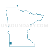
Maps

Graphs
Select a template below for downloading or customizing gragh for Ruthton Voting District, Pipestone County, Minnesota